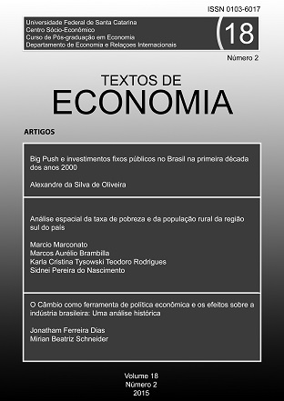
Spatial analysis of the poverty rate and rural population in the southern region of the country
DOI:
https://doi.org/10.5007/2175-8085.2015v18n2p16Abstract
Http://dx.doi.org/10.5007/2175-8085.2015v18n2p16
The objective of this study was to verify the spatial existence between the poverty rate and the percentage of the rural population in the municipalities of the southern region of Brazil. Exploratory Spatial Data Analysis (AEDE) was used to identify the bivariate I coefficients of Moran, the dispersion charts, the significance maps and the clusters maps of the municipalities variables. Data were collected from the Brazilian Institute of Geography and Statistics (IBGE) through the censuses of 2000 and 2010. It can be verified that between the period, there was a little expressive increase of the positive autocorrelation between the percentage of the rural population and the poverty rate for the Municipalities, but considering the percentage of municipalities that were statistically significant, there was an increase in the percentage of municipalities of the Baixo-Baixo regime and a decrease in the percentage of municipalities in the Alto-Alto (AA) regime.
Downloads
Published
Issue
Section
License
Os Direitos Autorais para artigos publicados neste periódico são do autor. Em virtude de aparecerem nesta revista de acesso público, os artigos são de uso gratuito, com atribuições próprias, em aplicações educacionais, de exercício profissional e para gestão pública. A Revista adotou a licença Creative Commons - Atribuição-NãoComercial-SemDerivações 4.0 Internacional. Esta licença permite acessar, baixar (download), compartilhar o conteúdo dos artigos desde que citada a fonte, atribuindo os devidos créditos de autoria.

Esta obra está licenciada sob uma Licença Creative Commons - Atribuição-NãoComercial-SemDerivações 4.0 Internacional.


